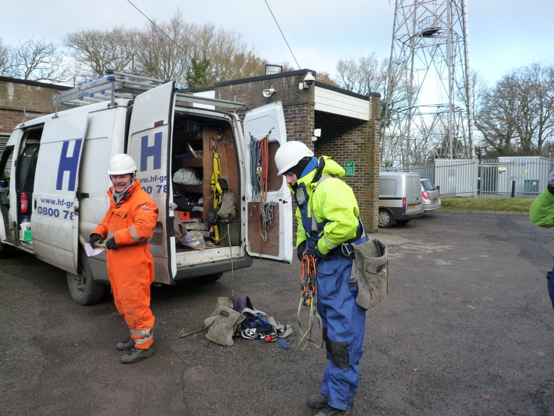
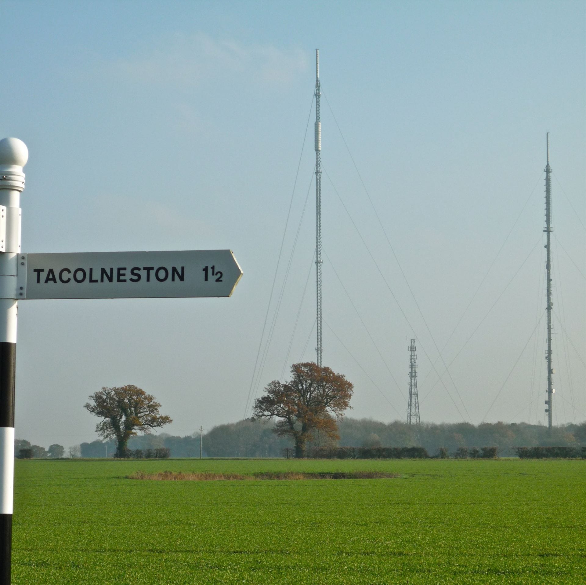
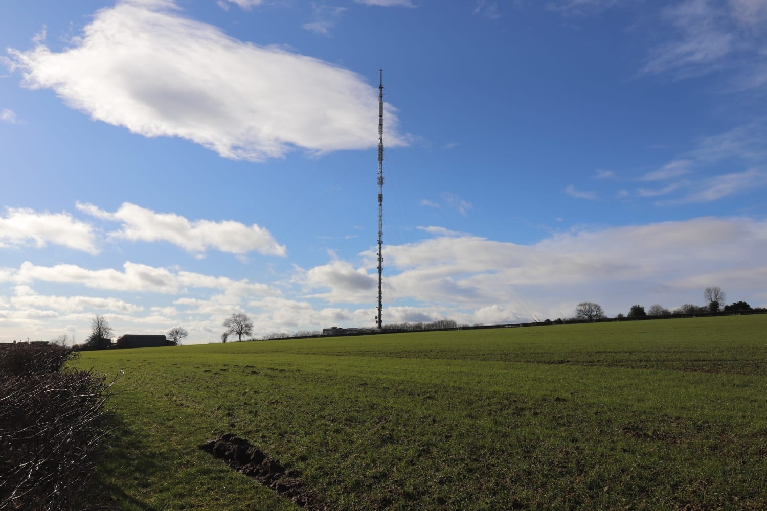
Watch video tours of the measurement sites: Bilsdale; Heathfield; Mace Head; Ridge Hill; Tacolneston; Weybourne
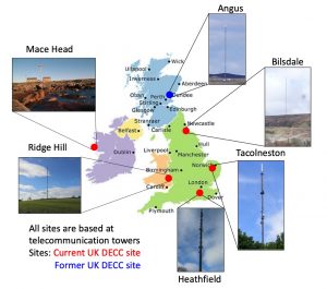
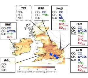
Images: (left) UK DECC Network measurement sites. (Right) Sites making measurements as part of the DARE-UK project and the atmospheric species measured at each site. BSD (Bilsdale), HFD (Heathfield), MHD (Mace Head), RGL (Ridge Hill), TAC (Tacolneston), TTA (Tall Tower Angus) and WAO (Weybourne).
Previous and ongoing projects such as NERC GAUGE and the UK DECC network have provided a UK dense network of in situ GHG monitoring. This project will use this network and recent investments by national funding bodies and produce new data sets.
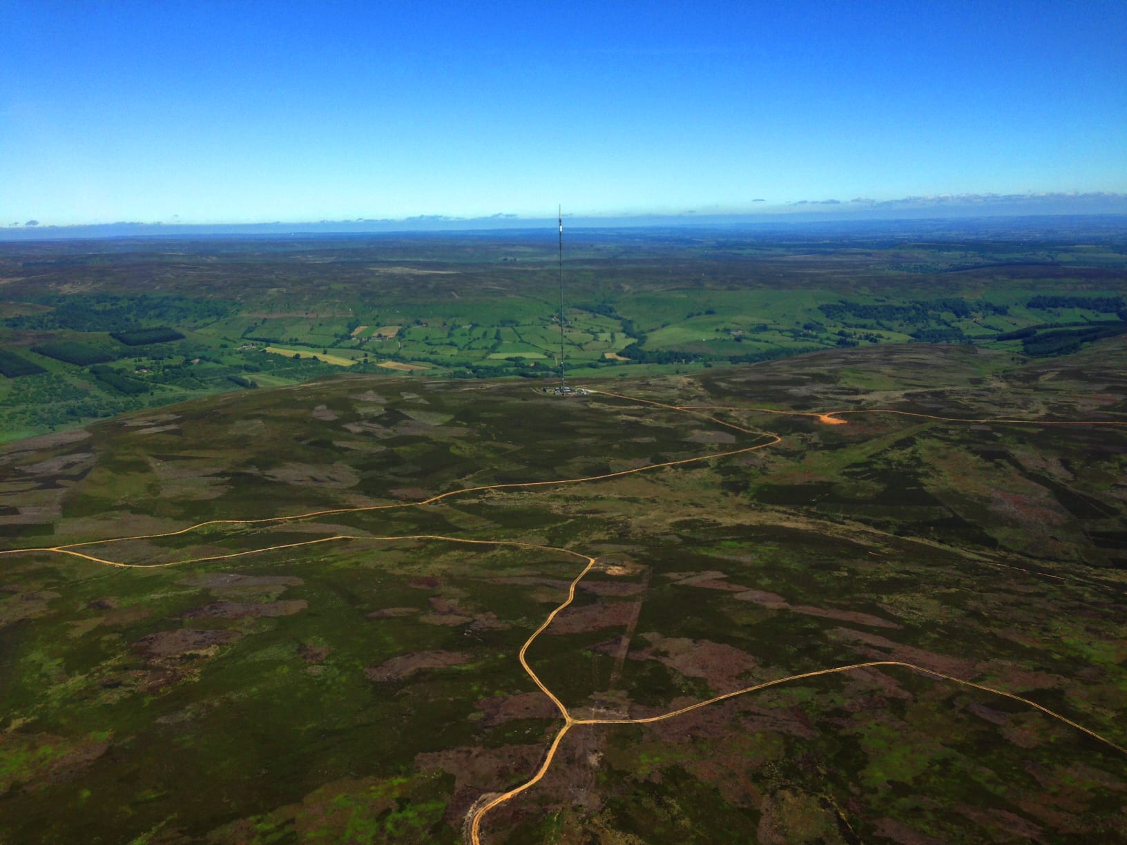
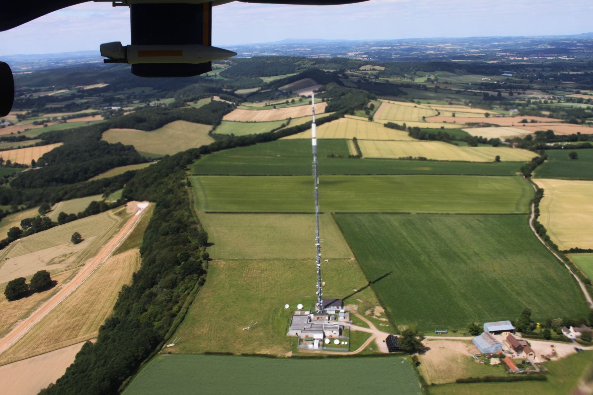
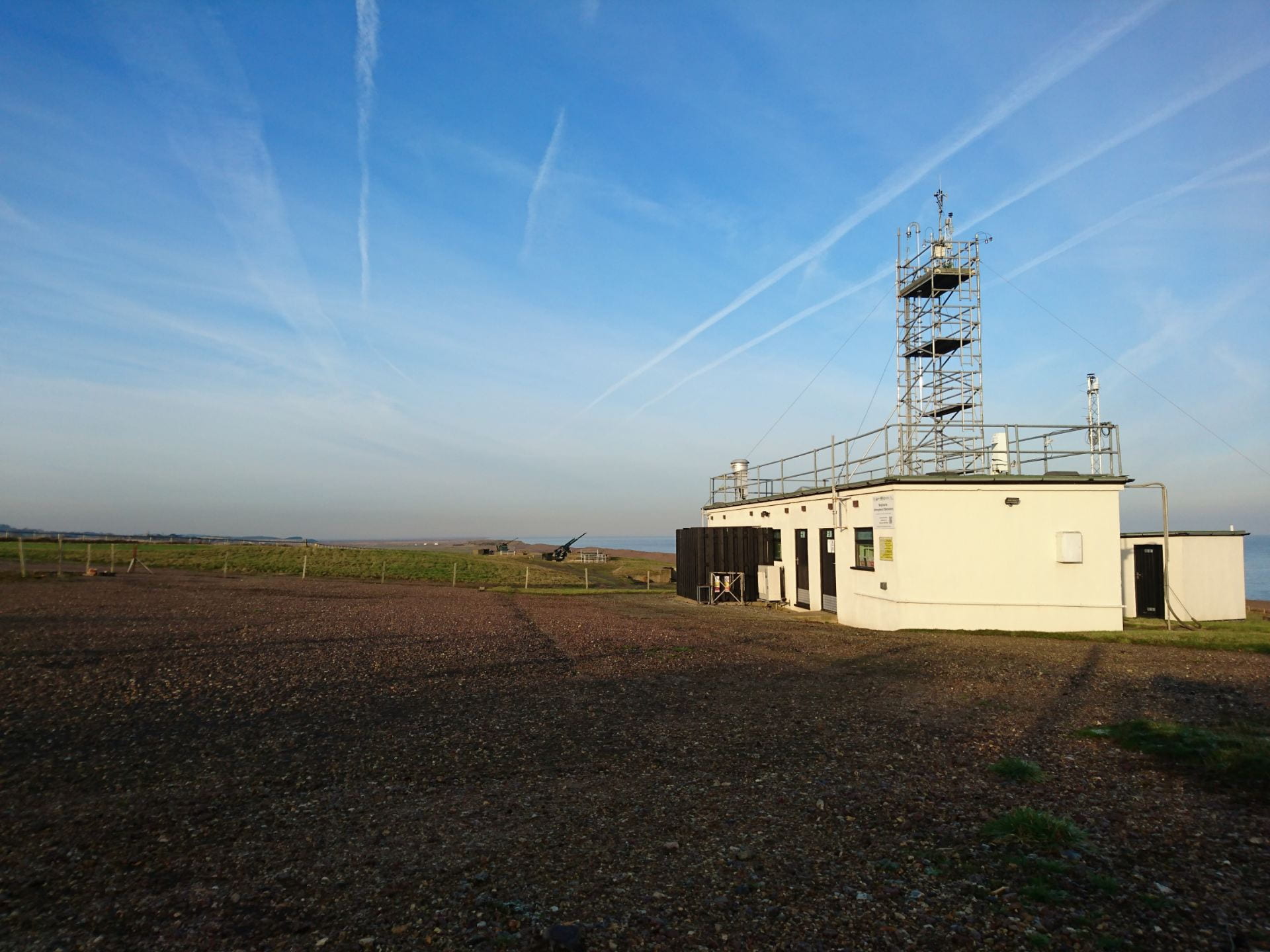
The UK observational network, shown below, is made up of two coastal sites: Mace Head, Ireland (MHD) and Weyborne Atmospheric Observatory (WAO), four operational tall tower sites: Ridge Hill (RGL), Tacolneston (TAC), Bilsdale (BSD) and Heathfield (HFD), and one discontinued tall tower, Angus (TTA). A selection of observed gases is shown, with those in bold supported in part through this proposal. The blue stars indicate locations of existing or planned ground-based column FTIR observations: Harwell, Heathfield and NPL. Shading indicates inventory fossil fuel carbon dioxide emissions estimates and the grey contours show the integrated footprint from the tall tower and coastal network.